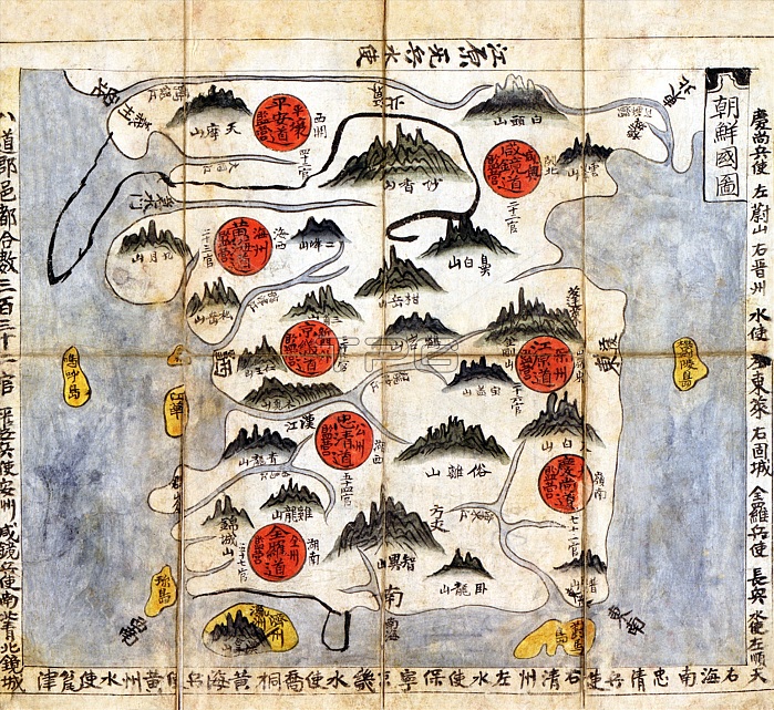
Korea: Political map of Korea from the Ch'onha Chido Atlas showing the 8 administrative regions or provinces (indicated by red circles), pen and ink on rice paper, Joseon Dynasty, c. 1800
| px | px | dpi | = | cm | x | cm | = | MB |
Details
Creative#:
TOP27694623
Source:
達志影像
Authorization Type:
RM
Release Information:
須由TPG 完整授權
Model Release:
No
Property Release:
No
Right to Privacy:
No
Same folder images:

 Loading