
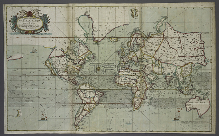
1765724 A new and correct map of the world from an atlas of the sea, 1707 (hand coloured print) by English School, (18th century); New York Public Library, USA; (add.info.: A new and correct Mapp of the world by Samuel Thornton according to Mr Edward Wright, from a sea-atlas containing an hydrographical description of most of the sea-coasts of the known parts of the world.); English, out of copyright.
| px | px | dpi | = | cm | x | cm | = | MB |
Details
Creative#:
TOP27427891
Source:
達志影像
Authorization Type:
RM
Release Information:
須由TPG 完整授權
Model Release:
No
Property Release:
No
Right to Privacy:
No
Same folder images:
coastcoastlineshorelineseamaritimecartographyhydrographyworldmapshippingdiscoverylongitudeseacharthydrographicalterrestrialmercatorprojectionmaritimeexplorationlatitudeoceanseamapamericaatlasmercator\'sprojectionnavigationEngravingMzengravinghydrographyworldmapshippingdiscoverylongitudeseacharthydrographicalterrestrialmercatorprojectionmaritimeexplorationlatitudeoceanseamapamericacoastatlasmercator'sprojectionnavigation
EngravingMzengravingamericaamericaatlasatlascartographychartchartcoastcoastcoastlinediscoverydiscoveryexplorationexplorationhydrographicalhydrographicalhydrographyhydrographylatitudelatitudelongitudelongitudemapmapmapmapmaritimemaritimemaritimemercatormercatormercator'smercator\'snavigationnavigationoceanoceanprojectionprojectionprojectionprojectionseaseaseaseaseashippingshippingshorelineterrestrialterrestrialworldworld
 Loading