
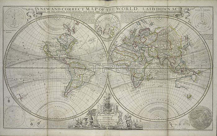
1765728 A new and correct map of the world laid down according to the newest discoveries and from the most exact observations, 1736 (hand coloured print) by Moll, Hermann (fl.1678-1732); 64x101 cm; New York Public Library, USA; (add.info.: Dedicated to George II.); German, out of copyright.
| px | px | dpi | = | cm | x | cm | = | MB |
Details
Creative#:
TOP27427889
Source:
達志影像
Authorization Type:
RM
Release Information:
須由TPG 完整授權
Model Release:
No
Property Release:
No
Right to Privacy:
No
Same folder images:
coastcoastlineshorelineseamaritimecartographyhydrographyworldmapshippingdiscoveryglobelongitudeseacharthemispheresterrestrialmaritimeexplorationlatitudeoceanseamapcelestialamericaplanetsatlasnavigationEngravingMzengravinghydrographyworldmapshippingdiscoveryglobelongitudeseacharthemispheresterrestrialmaritimeexplorationlatitudeoceanseamapcelestialamericacoastplanetsatlasnavigation
EngravingMzengravingamericaamericaatlasatlascartographycelestialcelestialchartchartcoastcoastcoastlinediscoverydiscoveryexplorationexplorationglobeglobehemisphereshemisphereshydrographyhydrographylatitudelatitudelongitudelongitudemapmapmapmapmaritimemaritimemaritimenavigationnavigationoceanoceanplanetsplanetsseaseaseaseaseashippingshippingshorelineterrestrialterrestrialworldworld
 Loading