
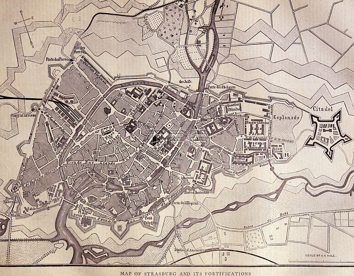
1580795 Map of Strasburg, 1870; (add.info.: Map of Strasburg and it\'s fortifications. Strasburg is a town in the Vorpommern-Greifswald district of Mecklenburg-Vorpommern, Germany. Dated 1870); Universal History Archive/UIG; out of copyright.
| px | px | dpi | = | cm | x | cm | = | MB |
Details
Creative#:
TOP27386766
Source:
達志影像
Authorization Type:
RM
Release Information:
須由TPG 完整授權
Model Release:
No
Property Release:
No
Right to Privacy:
No
Same folder images:
fortificationmecklenburg-vorpommernfrench19thcenturyfranco-prussianwartownprussiangermanywarengraving1870sgermanstrasburgvorpommern-greifswaldfrancofrancenavigationmecklenburg-vorpommernfrench19thcenturyfranco-prussianwartownprussiangermanywarengraving1870sgermanstrasburgvorpommern-greifswaldfrancofrancenavigation
1870s1870s19th19thcenturycenturyengravingengravingfortificationfrancefrancefrancofrancofranco-prussianfranco-prussianfrenchfrenchgermangermangermanygermanymecklenburg-vorpommernmecklenburg-vorpommernnavigationnavigationprussianprussianstrasburgstrasburgtowntownvorpommern-greifswaldvorpommern-greifswaldwarwarwarwar
 Loading