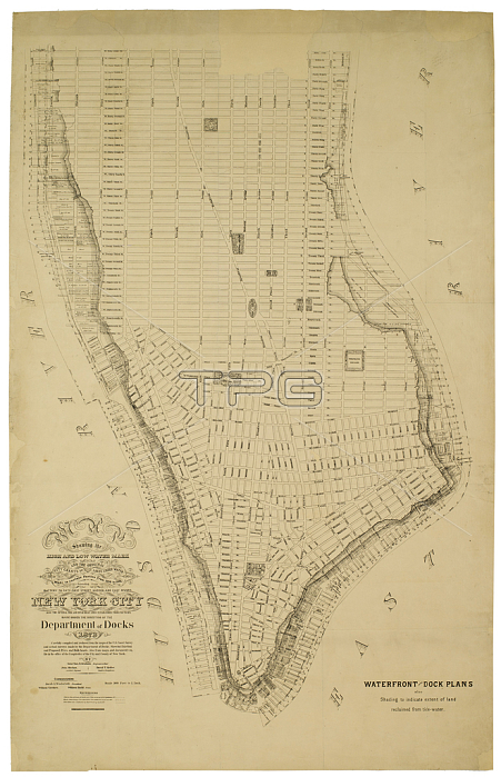
1079256 Map showing the high and low water mark and the original city grants of land under water made to various parties from 1686 to 1873, extending from Battery to Fifty-first Street, Judson and East Rivers, New York City. Also the several pier and bulk-head lines established from 1730 to 1873., 1873 (ink on paper) by American School, (19th century); ?96x62 ? cm; Collection of the New-York Historical Society, USA; (add.info.: "Carefully compiled and reduced fro the maps of the U.S. Coast Survey and actual surveys made by the Department of Docks. Showing existing and proposed piers and bulk-heads. Also from maps and documents on file in the office of the comptroller of the city and county of New York. Charles K. Graham); 穢 New York Historical Society ; American, out of copyright.
| px | px | dpi | = | cm | x | cm | = | MB |
Details
Creative#:
TOP27347347
Source:
達志影像
Authorization Type:
RM
Release Information:
須由TPG 完整授權
Model Release:
No
Property Release:
No
Right to Privacy:
No
Same folder images:

 Loading