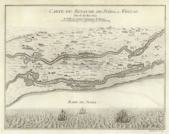
979815 Map of the Kingdom of Juida, or Whidah (engraving) by French School, (18th century); Private Collection; (add.info.: Carte du Royaume de Juida ou Whidah, by Jacques Nichloas Bellin, showing the coastal creeks and lagoons in the area which is today the Republic of Benin. Image taken from \'Histoire Generale des Voyages\', by Antoine Francois Prevost. Published by Pierre de Hondt, 1747.); Look and Learn / Bernard Platman Antiquarian Collection; French, out of copyright.
| px | px | dpi | = | cm | x | cm | = | MB |
Details
Creative#:
TOP27247749
Source:
達志影像
Authorization Type:
RM
Release Information:
須由TPG 完整授權
Model Release:
No
Property Release:
No
Right to Privacy:
No
Same folder images:
cartographywestafricariverslagoonsjacquesnichloasbellinafricacenturykingdomofjuidamapsvoyagesmapcreeksrepublicofbeninjuidawhidahoubenindeshistoiregeneralecarteduroyaumedejuidawestafricariverslagoonsjacquesnichloasbellinafricacenturykingdomofjuidamapsvoyagesmapcreeksrepublicofbeninjuidawhidahoubenindeshistoiregeneralecarteduroyaumedejuida
africaafricaafricaafricabellinbellinbeninbeninbeninbenincartecartecartographycenturycenturycreekscreeksdededesdesdudugeneralegeneralehistoirehistoirejacquesjacquesjuidajuidajuidajuidajuidajuidakingdomkingdomlagoonslagoonsmapmapmapsmapsnichloasnichloasofofofofouourepublicrepublicriversriversroyaumeroyaumevoyagesvoyageswestwestwhidahwhidah

 Loading