
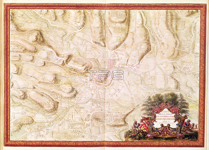
XDT274298 Ms 988 tome 3 fol.49 Plan and map of Saint-Jean-Pied-de-Port, from the \'Atlas Louis XIV\', 1683-88 (gouache on paper) by Vauban, Sebastien Le Prestre de (1633-1707); Min. Defense - Service Historique de l\'Armee de Terre,France; (add.info.: Jean Pied de Port; Pyrenees-Atlantiques;); French, out of copyright.
| px | px | dpi | = | cm | x | cm | = | MB |
Details
Creative#:
TOP26982984
Source:
達志影像
Authorization Type:
RM
Release Information:
須由TPG 完整授權
Model Release:
No
Property Release:
No
Right to Privacy:
No
Same folder images:
 Loading