
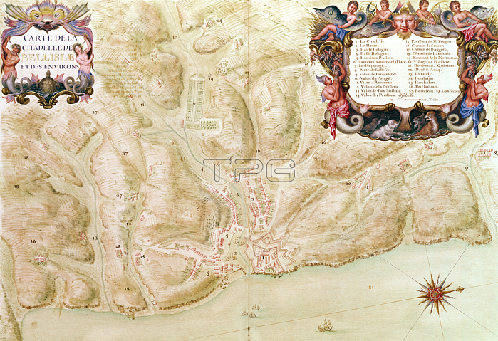
XIR230510 Ms 988 volume 3 fol.33 Map of the town and citadel of Bellisle, from the \'Atlas Louis XIV\', 1683-88 (gouache on paper) by Vauban, Sebastien Le Prestre de (1633-1707); Service Historique de L\'Armee et de L\'Air, Vincennes, France; (add.info.: collection of maps of war places of the provinces of the kingdom; city and citadel of Bellisle;); French, out of copyright.
| px | px | dpi | = | cm | x | cm | = | MB |
Details
Creative#:
TOP26961666
Source:
達志影像
Authorization Type:
RM
Release Information:
須由TPG 完整授權
Model Release:
No
Property Release:
No
Right to Privacy:
No
Same folder images:
decorationdecorateddecorativeornateornamentalfortressfortificationsfortifiedrampartcoastcoastlineshorelinecoastalseamaritimefortificationbelleilebelle-isleenmercitadelislandcartouchebelleislebelle-ile-en-mermapfortifiedatlanticoceantownstardefencesystembrittanybellislemorbihanplanbretonrecueilbelle-ileatlaslouisxivfrancePaintingMzpaintingbelleilefortificationsbelle-isleenmercitadelislandcartouchebelleislebelle-ile-en-mermapfortifiedatlanticoceantowndecoratedstardefencesystemcoastalcoastbrittanybellislemorbihanplanbretonrecueilbelle-ileatlaslouisxivfrance
MzpaintingPaintingatlanticatlanticatlasatlasbellebellebellebellebelle-ilebelle-ilebelle-ile-en-merbelle-ile-en-merbelle-islebelle-islebellislebellislebretonbretonbrittanybrittanycartouchecartouchecitadelcitadelcoastcoastcoastalcoastalcoastlinedecorateddecorateddecorationdecorativedefencedefenceenenfortificationfortificationsfortificationsfortifiedfortifiedfortifiedfortressfrancefranceileileislandislandisleislelouislouismapmapmaritimemermermorbihanmorbihanoceanoceanornamentalornateplanplanrampartrecueilrecueilseashorelinestarstarsystemsystemtowntownxivxiv
 Loading