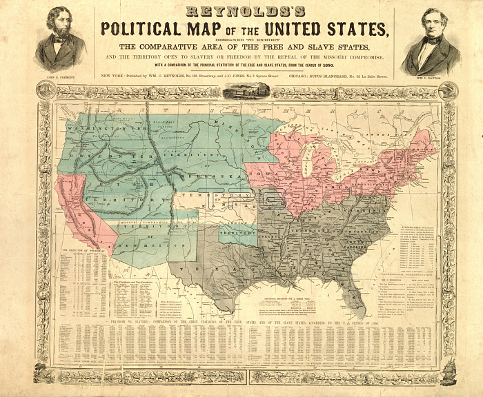
AKM210017 Reynolds\'s Political Map of the United States, c.1850 (colour litho) by American School, (19th century); Philadelphia History Museum at the Atwater Kent; (add.info.: the comparative area of the free and slave states;); 穢 Philadelphia History Museum at the Atwater Kent ; Courtesy of Historical Society of Pennsylvania Collection,; American, out of copyright.
| px | px | dpi | = | cm | x | cm | = | MB |
Details
Creative#:
TOP26937469
Source:
達志影像
Authorization Type:
RM
Release Information:
須由TPG 完整授權
Model Release:
No
Property Release:
No
Right to Privacy:
No
Same folder images:

 Loading