
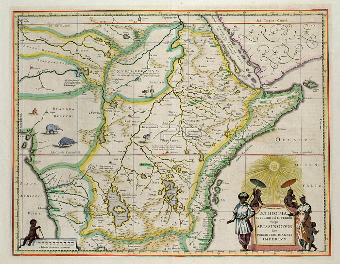
BAL42830 Map of Ethiopia showing five African states, c.1690 possibly after G. Blaeu\'s "Grooten Atlas" of 1648-65; O\'Shea Gallery, London, UK; out of copyright.
| px | px | dpi | = | cm | x | cm | = | MB |
Details
Creative#:
TOP26845711
Source:
達志影像
Authorization Type:
RM
Release Information:
須由TPG 完整授權
Model Release:
No
Property Release:
No
Right to Privacy:
No
Same folder images:
 Loading