
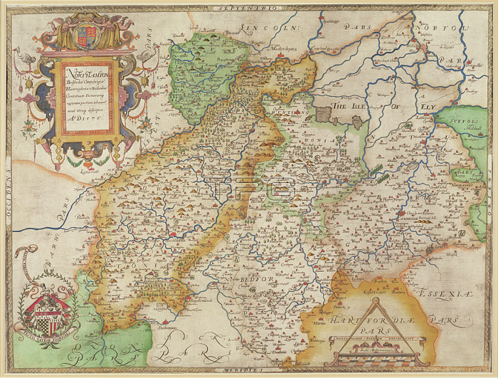
BAL16021 Map of Northampton and adjacent counties, from \'Atlas of England and Wales\', 1576 (copper plate engraving) by Saxton, Christopher (c.1542-c.1610); Map House, London, UK; English, out of copyright.
| px | px | dpi | = | cm | x | cm | = | MB |
Details
Creative#:
TOP26829935
Source:
達志影像
Authorization Type:
RM
Release Information:
須由TPG 完整授權
Model Release:
No
Property Release:
No
Right to Privacy:
No
Same folder images:
 Loading