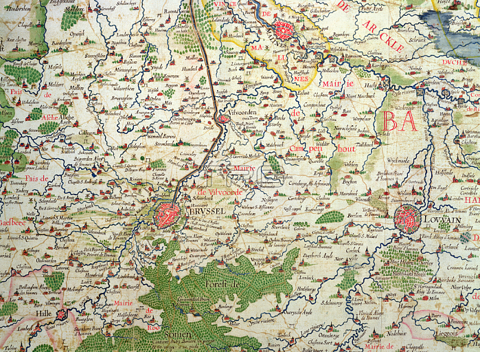
CHT191865 Map of Belgium at the time of the Thirty Years War (1618-48), from the \'Theatre des guerres entre le roy d\'Espagne et les Estats de Hollande\' (known as the \'Atlas de Richelieu\' (coloured engraving) by Langren, Arnold Florent van (1571-1644); Archives du Ministere des Affaires Etrangeres, Paris, France; (add.info.: Carte de Belgique lors de la guerre de Trente Ans; A.F. de Langren was a member of a dynasty of cartographers and globe makers and was cartographe or spherographe of King Philip IV of Spain (1605-1665); Atlas was dedicated to Armand-Jean du Plessis, Cardinal et Duc de Richelieu (1585-1642);); 穢 Archives Charmet; Dutch, out of copyright.
| px | px | dpi | = | cm | x | cm | = | MB |
Details
Creative#:
TOP26824694
Source:
達志影像
Authorization Type:
RM
Release Information:
須由TPG 完整授權
Model Release:
No
Property Release:
No
Right to Privacy:
No
Same folder images:

 Loading