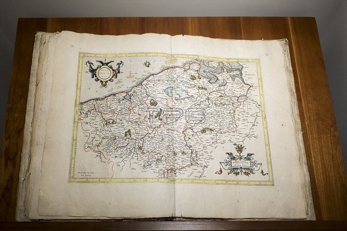
1585 atlas Galliae Tabule Geographicae by 16th-century geographer Gerardus Mercator showing map of the Netherlands / Belgii Inferioris
| px | px | dpi | = | cm | x | cm | = | MB |
Details
Creative#:
TOP25196001
Source:
達志影像
Authorization Type:
RM
Release Information:
須由TPG 完整授權
Model Release:
No
Property Release:
No
Right to Privacy:
No
Same folder images:
158516thcentury16th-centuryantiqueatlasbelgianbelgiibelgiumbookbookscartographercartographycloseupclose-upupsclose-upscloseupcloseupscosmographereastflandersgalliaegeographergeographicaegeographygerardgerardushistorichistoricalinferiorislatinmapmapsmercatormuseumnetherlandsopenpioneerrupelmondesciencesciencesscientistscientistssixteenthsoutherntabulethevintagealimdiRM333D8SB6
158516th16th-century333D8SB6RMalimdiantiqueatlasbelgianbelgiibelgiumbookbookscartographercartographycenturycloseclose-upclose-upscloseupcloseupscosmographereastflandersgalliaegeographergeographicaegeographygerardgerardushistorichistoricalinferiorislatinmapmapsmercatormuseumnetherlandsopenpioneerrupelmondesciencesciencesscientistscientistssixteenthsoutherntabuletheupupsvintage

 Loading