
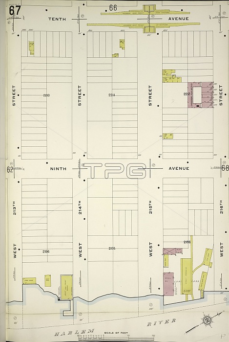
Manhattan, V. 12, Plate No. 67 Map bounded by 10th Ave. , W. 216th St. , Harlem River, W. 213th St. , New York, USA
| px | px | dpi | = | cm | x | cm | = | MB |
Details
Creative#:
TOP25192480
Source:
達志影像
Authorization Type:
RM
Release Information:
須由TPG 完整授權
Model Release:
No
Property Release:
No
Right to Privacy:
No
Same folder images:
10th12213th216th67agedamericaamericanavecartographiccartographydrawingdrawingsgeographyharlemhistorichistoricalhistoricallyhistoryillustrationillustrationsmanhattanmapnewnoofoldpaintedpaintingpicturepicturesplateplatesriverriversSaintstSt.StatesU.S.AU.S.A.UnitedUSusavvintagewwaterwatersyorkalimdiRM333D8JNR
10th12213th216th333D8JNR67RMSaintSt.StatesU.S.AU.S.A.USUnitedagedalimdiamericaamericanavecartographiccartographydrawingdrawingsgeographyharlemhistorichistoricalhistoricallyhistoryillustrationillustrationsmanhattanmapnewnoofoldpaintedpaintingpicturepicturesplateplatesriverriversstusavvintagewwaterwatersyork
 Loading