
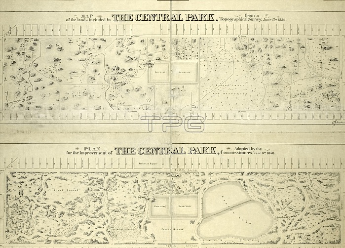
Map of the lands included in the Central Park, from a topographical survey, June 17th, 1856, Also: Plan for the improvement of the Central Park, adopted by the Commissioners, June 3rd, 1856, New York, USA
| px | px | dpi | = | cm | x | cm | = | MB |
Details
Creative#:
TOP25192338
Source:
達志影像
Authorization Type:
RM
Release Information:
須由TPG 完整授權
Model Release:
No
Property Release:
No
Right to Privacy:
No
Same folder images:
 Loading