
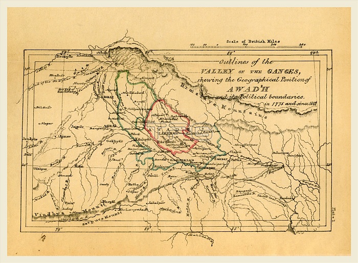
Map valley of the Ganges India, Outline of the Topography and Statistics of the Southern Districts of Oud'h, and of the cantonment of Sultanpur-Oud'h, 19th century engraving
| px | px | dpi | = | cm | x | cm | = | MB |
Details
Creative#:
TOP25190695
Source:
達志影像
Authorization Type:
RM
Release Information:
須由TPG 完整授權
Model Release:
No
Property Release:
No
Right to Privacy:
No
Same folder images:
 Loading