
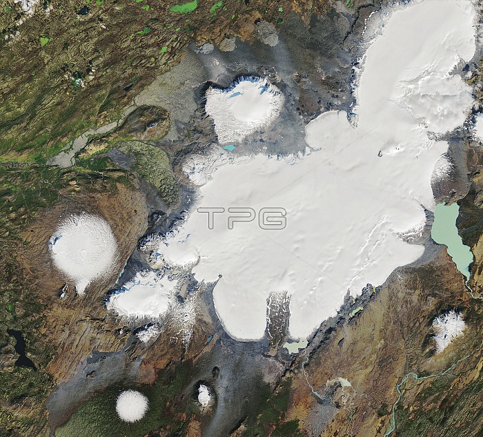
Okjokull glacier in 1986, Iceland, satellite image. Okjokull glacier is the white area at left centre. In 1901 it was estimated that Okjokull covered an area of around 38 square kilometres. As the world warmed during the 20th century, the glacier was reduced by melting, and in 2014 it was declared dead as it no longer had enough mass to flow. Image obtained by the Thematic Mapper (TM) on Landsat 5 on 7th September 1986. For an image of the glacier in 2019 see C047/1958.
| px | px | dpi | = | cm | x | cm | = | MB |
Details
Creative#:
TOP24873180
Source:
達志影像
Authorization Type:
RM
Release Information:
須由TPG 完整授權
Model Release:
N/A
Property Release:
N/A
Right to Privacy:
No
Same folder images:
 Loading