
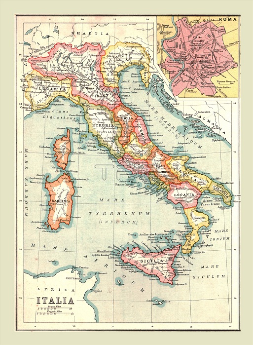
Map of 'Italia', (1902). Showing the Italian peninsula during the Roman period, with place names in Latin, and inset of Rome. From The Century Atlas of the World. [John Walker & Co, Ltd., London, 1902]
| px | px | dpi | = | cm | x | cm | = | MB |
Details
Creative#:
TOP22920755
Source:
達志影像
Authorization Type:
RM
Release Information:
須由TPG 完整授權
Model Release:
No
Property Release:
No
Right to Privacy:
No
Same folder images:
 Loading