
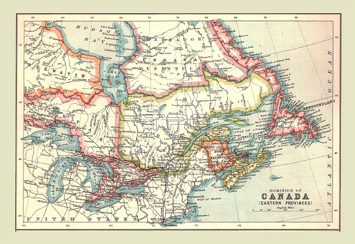
Map of the Dominion of Canada, Eastern Provinces, 1902. Showing Newfoundland, Nova Scotia, the Gulf of St Lawrence and the Great Lakes. From The Century Atlas of the World. [John Walker & Co, Ltd., London, 1902]
| px | px | dpi | = | cm | x | cm | = | MB |
Details
Creative#:
TOP22920594
Source:
達志影像
Authorization Type:
RM
Release Information:
須由TPG 完整授權
Model Release:
No
Property Release:
No
Right to Privacy:
No
Same folder images:
 Loading