
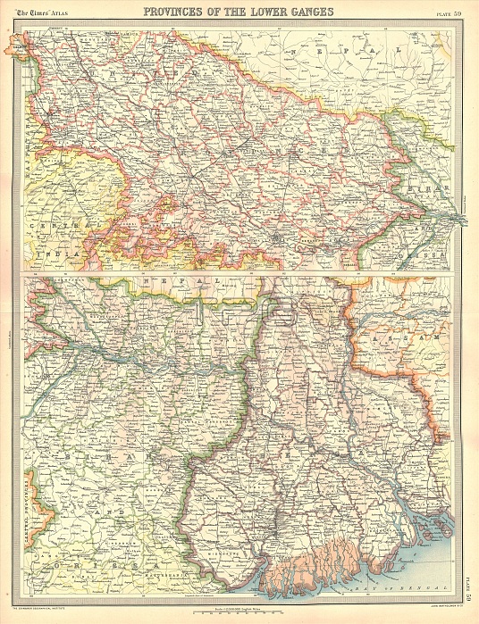
Map of the Provinces of the Lower Ganges. Map in two sections, showing Indian states through which the River Ganges flows, and the Ganges Delta in what is now Bangladesh. Plate 59 from The Times Atlas.
| px | px | dpi | = | cm | x | cm | = | MB |
Details
Creative#:
TOP22778476
Source:
達志影像
Authorization Type:
RM
Release Information:
須由TPG 完整授權
Model Release:
No
Property Release:
No
Right to Privacy:
No
Same folder images:
 Loading