
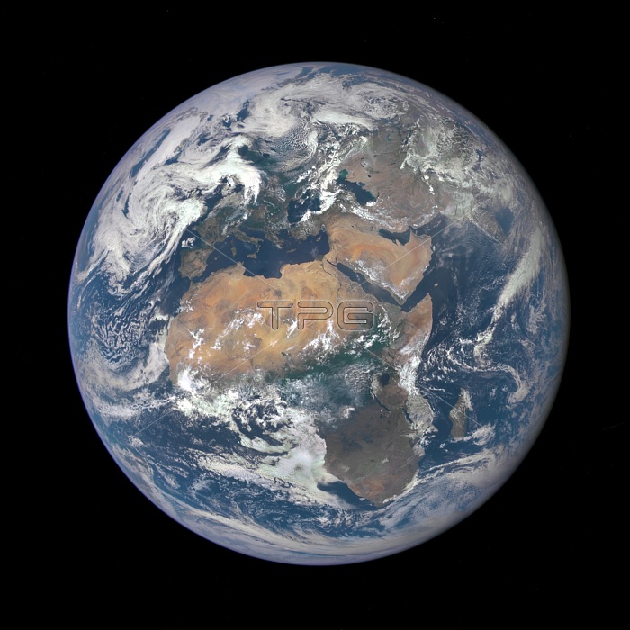
The image, taken from a vantage point one million miles from Earth, was one of the first taken by the Earth Polychromatic Imaging Camera (EPIC) on NASA's Deep Space Climate Observatory (DSCOVR) satellite. Africa occupies most of the view, with Europe to the North and the Arabian Peninsula and Central Asia to the East. The photographic-quality color image was generated by combining three separate images of the entire Earth taken a few minutes apart. The camera takes a series of 10 images using different narrowband filters -- from ultraviolet to near infrared -- to produce a variety of science products. The red, green and blue channel images are used in these Earth images.
| px | px | dpi | = | cm | x | cm | = | MB |
Details
Creative#:
TOP22315680
Source:
達志影像
Authorization Type:
RM
Release Information:
須由TPG 完整授權
Model Release:
N/A
Property Release:
No
Right to Privacy:
No
Same folder images:
 Loading