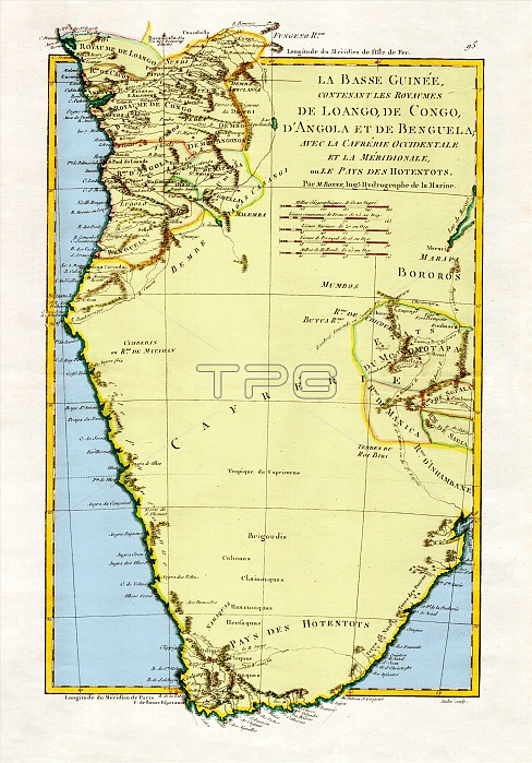
"The Kingdoms of Lower Guinea Including Loango, Congo, Angola, and Benguela with Kaffraria and the West Country of Meridionale or Hotentots," 1788. A general map of Angola and the Congo, showing some relief information. Created by M. Bonne, Ingenieur-Hydrographe de la Marine. This image has been color enhanced.
| px | px | dpi | = | cm | x | cm | = | MB |
Details
Creative#:
TOP22176892
Source:
達志影像
Authorization Type:
RM
Release Information:
須由TPG 完整授權
Model Release:
N/A
Property Release:
No
Right to Privacy:
No
Same folder images:

 Loading