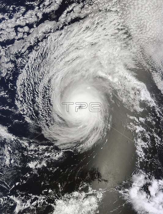
The Moderate Resolution Imaging Spectroradiometer (MODIS) on NASA's Terra satellite captured this natural-color image of Hurricane Iselle over the Pacific Ocean at 10:40 a.m. Hawaiian time on August 4, 2014. Shortly after the image was acquired, the U.S. Joint Typhoon Warning Center reported that Iselle was a category 4 hurricane with sustained winds at 120 knots (140 miles or 220 kilometers per hour) and centered at 16.10簞 north latitude, 137.40簞 west longitude. The MODIS image shows a nearly cloud-free eye in the center of a symmetrical storm; there is solid ring of clouds around the center rather than intermittent, spiral bands. Iselle was at its peak intensity at the time and it was likely an annular hurricane. Atmospheric researchers also detected signs of mesovortices near the eyewall. The smaller, tighter rotating structures within the larger storm are often associated with tornadoes on land.
| px | px | dpi | = | cm | x | cm | = | MB |
Details
Creative#:
TOP22092764
Source:
達志影像
Authorization Type:
RM
Release Information:
須由TPG 完整授權
Model Release:
N/A
Property Release:
No
Right to Privacy:
No
Same folder images:

 Loading