
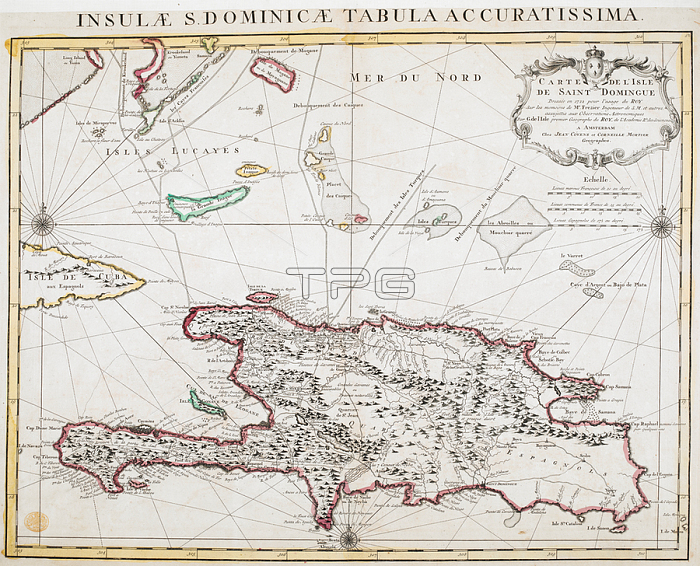
An 18th century map of Hispaniola.Saint-Domingue (known as Saint Domingo) was a French colony on the Caribbean island of Hispaniola from 1659 to 1809.Amsterdam; 1722.From: Carte de l'Isle de Saint Domingue [or Hispaniola.] Dresse磂 en 1722. sur les me磎oires de M. Frezier. par G. de l'Isle.Maps K. Top. 123.35London; British Library.
| px | px | dpi | = | cm | x | cm | = | MB |
Details
Creative#:
TOP21014928
Source:
達志影像
Authorization Type:
RM
Release Information:
須由TPG 完整授權
Model Release:
No
Property Release:
No
Right to Privacy:
No
Same folder images:
Restriction:
Additional permissions needed for non-editorial use.
 Loading