
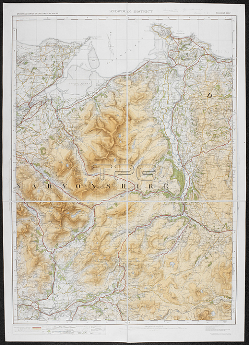
A tourist map of the Snowdon district.Southampton: Ordnance Survey Office; 1920.From: Ordnance Survey of England and Wales. Snowdon district. Tourist Map. Scale of one inch to one statute mile = 1: 63; 360.Maps 6440. (2.) London; British Library.
| px | px | dpi | = | cm | x | cm | = | MB |
Details
Creative#:
TOP21014878
Source:
達志影像
Authorization Type:
RM
Release Information:
須由TPG 完整授權
Model Release:
No
Property Release:
No
Right to Privacy:
No
Same folder images:
Restriction:
Additional permissions needed for non-editorial use.
 Loading