
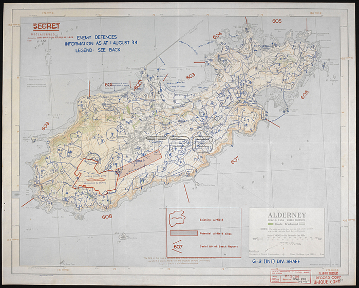
Map of Alderney; revised from air photographs 1943. ; Originally surveyed and drawn by OS 1910-11Scale 1: 10 560.[London]: [GSGS; War Office]; 1911-1943. Great Britain. General Staff. Geographical Section.From: Map of the island of Alderney; GSGS 2558.Maps MOD GSGS 2558London; British Library.
| px | px | dpi | = | cm | x | cm | = | MB |
Details
Creative#:
TOP21011437
Source:
達志影像
Authorization Type:
RM
Release Information:
須由TPG 完整授權
Model Release:
No
Property Release:
No
Right to Privacy:
No
Same folder images:
Restriction:
Additional permissions needed for non-editorial use.
 Loading