
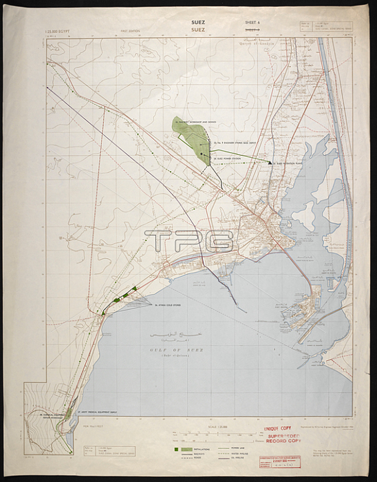
Map of Suez; dated 1954. Series in nine sheets; some in two or three versions. Coverage limited to built-up areas or army camps along Suez canal; plus Tel el Kebir. col.; Scale 1: 25 000.[S. l.]: [Survey Directorate; Middle East]; 1954. Great Britain. Army. Royal Engineers. Survey Engineers Regiment; 42nd.From: Suez Canal Zone special series; Series MDR Misc. 11922.Maps MOD MDR Misc. 11922 sheet 6London; British Library.
| px | px | dpi | = | cm | x | cm | = | MB |
Details
Creative#:
TOP21011435
Source:
達志影像
Authorization Type:
RM
Release Information:
須由TPG 完整授權
Model Release:
No
Property Release:
No
Right to Privacy:
No
Same folder images:
Restriction:
Additional permissions needed for non-editorial use.
 Loading