
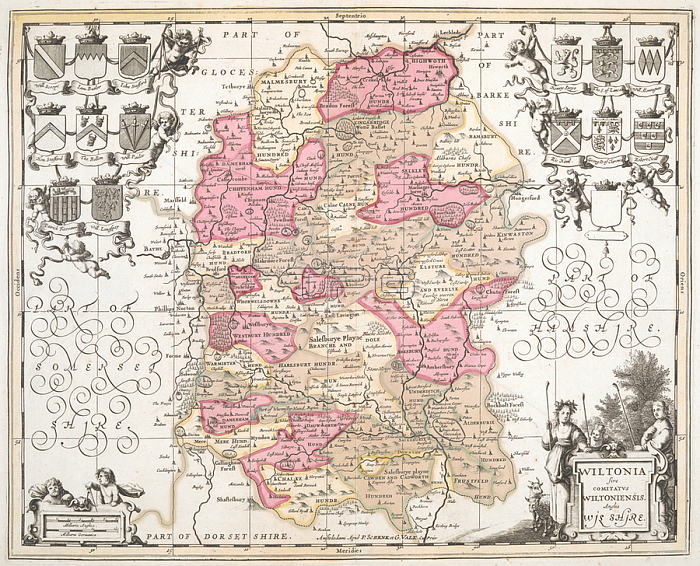
A 17th century map of Wiltshire.Amstelodami: P. Schenk et G. Valk; [1680?].From: Wiltonia sive Comitatus Wiltoniensis; Anglis Wilshire.Maps K. Top. 43.27London; British Library.
| px | px | dpi | = | cm | x | cm | = | MB |
Details
Creative#:
TOP21007282
Source:
達志影像
Authorization Type:
RM
Release Information:
須由TPG 完整授權
Model Release:
No
Property Release:
No
Right to Privacy:
No
Same folder images:
Restriction:
Additional permissions needed for non-editorial use.
 Loading