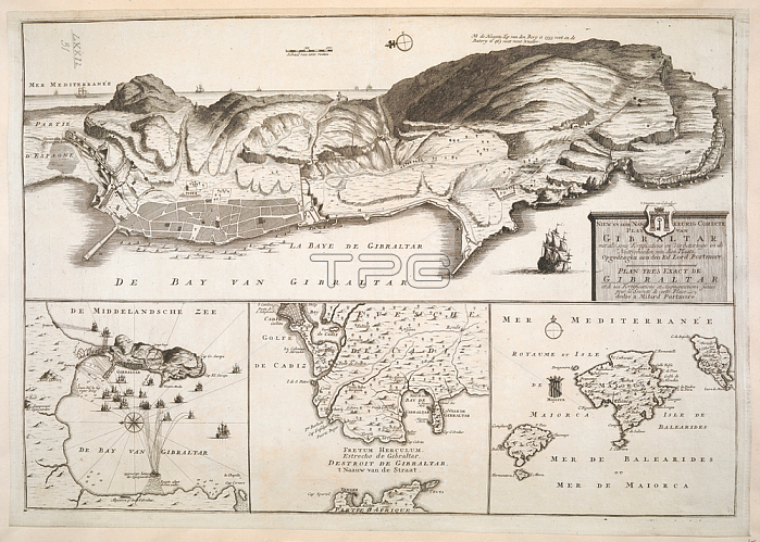
A plan of Gibraltar and its fortifications. Includes insets of the Bay of Gibraltar with soundings; the Straits of Gibraltar and the Balearic Islands.[Amsterdam?]: [by Andries en H. de Let?]; [about 1730?].From: NIEW EN SEER NAW KEURIC CORECTE PLAN VAN GIBRALTAR met alle syne Fortificatiens en Verbeteringe en de Nittigheeden van dien Plaats. Opgedragen aen den Ed Lord Portmore. = PLAN TRES EXACT DE GIBRALTAR et de ses Fortifications et Augmentations faites pour la Seuret?de cette Place dedi?a Milord Portmore.Maps K. Top. 72.31London; British Library.
| px | px | dpi | = | cm | x | cm | = | MB |
Details
Creative#:
TOP21007111
Source:
達志影像
Authorization Type:
RM
Release Information:
須由TPG 完整授權
Model Release:
No
Property Release:
No
Right to Privacy:
No
Same folder images:
Restriction:
Additional permissions needed for non-editorial use.

 Loading