
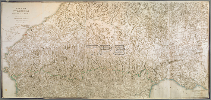
Aaron Arrowsmith.A map of the Pyrenees and the adjacent provinces.London: Published 5th January 1809 by A. Arrowsmith 10 Soho Square. [1809.].From: Aaron Arrowsmith; A MAP OF THE PYRENEES AND THE ADJACENT PROVINCES BY ROUSSEL; AND BLOTTIERE: with Additions from Tofi駉; and Lopez.Maps K. Top. 71.48.5 TAB.ENDLondon; British Library.
| px | px | dpi | = | cm | x | cm | = | MB |
Details
Creative#:
TOP21007098
Source:
達志影像
Authorization Type:
RM
Release Information:
須由TPG 完整授權
Model Release:
No
Property Release:
No
Right to Privacy:
No
Same folder images:
Restriction:
Additional permissions needed for non-editorial use.
 Loading