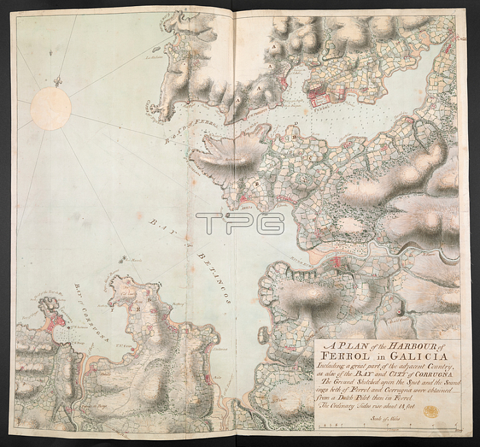
Major Hugh Debbieg.An ink and watercolour manuscript map of the coastline between Ferrol and Coru馻 in Galicia.[Ferrol]: [Hugh Debbieg]; [1767-1768.].From: Major Hugh Debbieg; A PLAN of the HARBOUR of FERROL in GALICIA. Including a great part of the adjacent Country; as also of the BAY and CITY of CORRUGNA: The Ground Sketched upon the Spot and the Soundings both of Ferrol and Corrugna were obtained from a Dutch Pilot then in Ferrol The Ordinary Tides rise about 14 feet.Maps K. Top. 73.47.2London; British Library.
| px | px | dpi | = | cm | x | cm | = | MB |
Details
Creative#:
TOP21006581
Source:
達志影像
Authorization Type:
RM
Release Information:
須由TPG 完整授權
Model Release:
No
Property Release:
No
Right to Privacy:
No
Same folder images:
Restriction:
Additional permissions needed for non-editorial use.

 Loading