
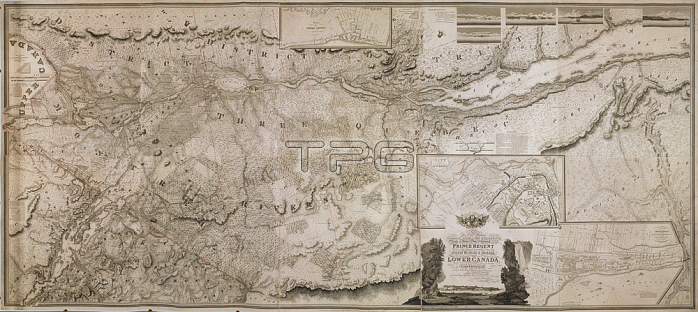
A topographical map of the Province of Lower Canada.[London]: Published; as the act directs; Augst. 12th. 1815 by W. Faden; Geographer; to His MAJESTY & to His Royal Highness; the PRINCE REGENT; Charing Cross; London; [1815.].From: To His Royal Highness GEORGE AUGUSTUS FREDERICK; Prince of Wales; Duke of Cornwall &c. &c. &c. and PRINCE REGENT of the United Kingdon of Great Britain & Ireland; This Topographical MAP of the Province of LOWER CANADA Shewing its division into Districts; Counties; Seigniories; & Townships; with all the Lands reserved both for the Crown & the Clergy &c. &c.Maps K. Top. 119.21.2.11 TAB.ENDLondon; British Library.
| px | px | dpi | = | cm | x | cm | = | MB |
Details
Creative#:
TOP21006517
Source:
達志影像
Authorization Type:
RM
Release Information:
須由TPG 完整授權
Model Release:
No
Property Release:
No
Right to Privacy:
No
Same folder images:
Restriction:
Additional permissions needed for non-editorial use.
 Loading