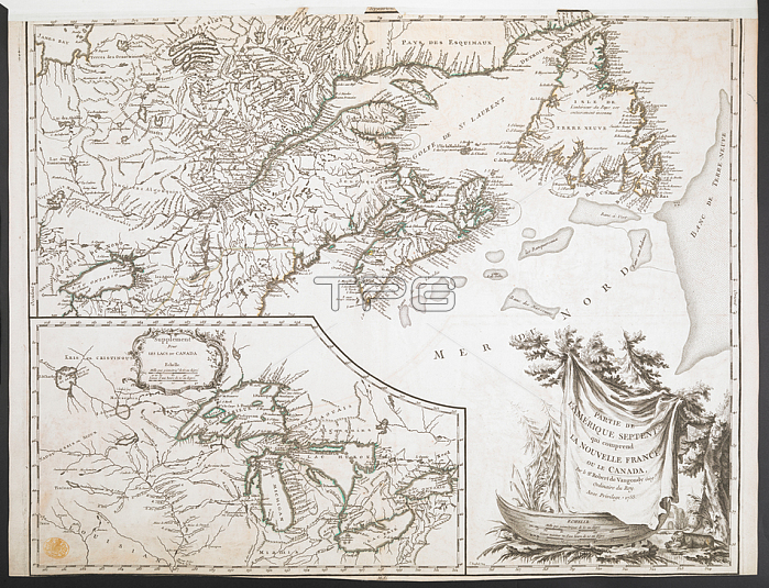
A map showing the eastern part of Canada; extending westwards to include all of Lake Ontario; and part of the Atlantic coast of North America. An inset map at a larger scale shows detail of the Great Lakes region.[Paris]: Par le Sr. Robert de Vaugondy G閛g? ordinaire du Roy. Avec Privilege; 1755.From: PARTIE DE L'AMERIQUE SEPTENT? qui comprend LA NOUVELLE FRANCE OU LE CANADA.Maps K. Top. 119.6London; British Library.
| px | px | dpi | = | cm | x | cm | = | MB |
Details
Creative#:
TOP21006504
Source:
達志影像
Authorization Type:
RM
Release Information:
須由TPG 完整授權
Model Release:
No
Property Release:
No
Right to Privacy:
No
Same folder images:
Restriction:
Additional permissions needed for non-editorial use.

 Loading