
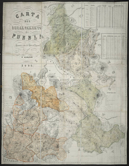
A map of Puebla; Mexico.[Mexico; ] Puebla [printed]; 1855.From: Carta del Departmento de Puebla. Levantada de orden del Gobierno Supremo de la Repu碽lica Mexicana por P. Almazan. [Scale: 1: 232; 500].Maps 77150. (1.) London; British Library.
| px | px | dpi | = | cm | x | cm | = | MB |
Details
Creative#:
TOP21006158
Source:
達志影像
Authorization Type:
RM
Release Information:
須由TPG 完整授權
Model Release:
No
Property Release:
No
Right to Privacy:
No
Same folder images:
Restriction:
Additional permissions needed for non-editorial use.
 Loading