
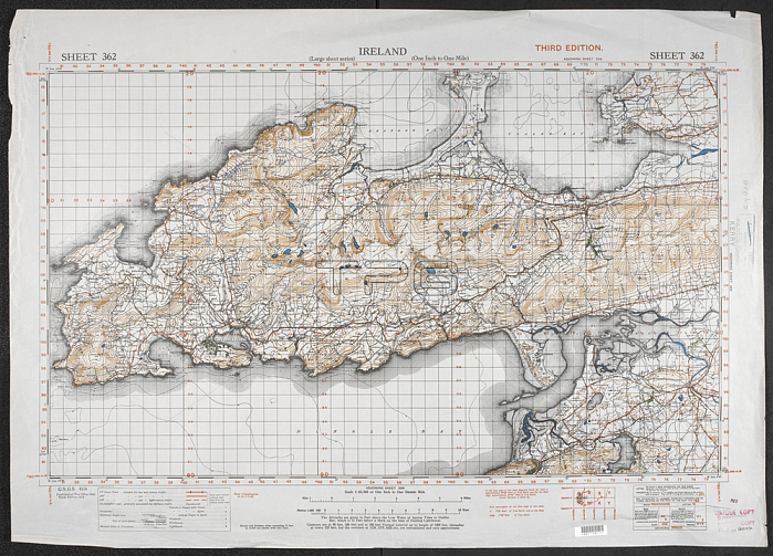
Map showing part of County Kerry; Ireland; dated 1940 - 1942. Col.; Scale 1: 63 360.[London]: War Office; 1940-1942. Great Britain. War Office. General Staff. Geographical Section.From: Ireland one inch; Series GSGS 4136.Maps MOD GSGS 4136 sheet 362 London; British Library.
| px | px | dpi | = | cm | x | cm | = | MB |
Details
Creative#:
TOP20999829
Source:
達志影像
Authorization Type:
RM
Release Information:
須由TPG 完整授權
Model Release:
No
Property Release:
No
Right to Privacy:
No
Same folder images:
Restriction:
Additional permissions needed for non-editorial use.
 Loading