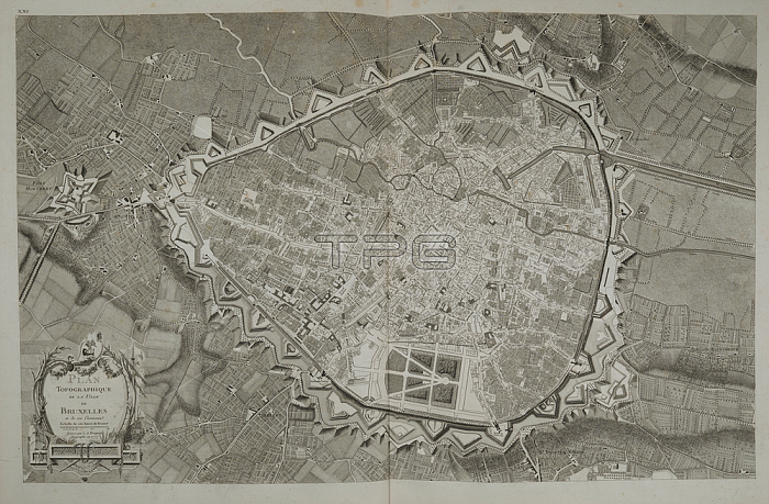
A topographical plan of the city of Brussels and the surrounding area.[Paris]: [Chez Vignon Marchand de Cartes de G閛graphie rue Dauphine vis-?vis celle d'Anjou.]; [1777.].From: PLAN TOPOGRAPHIQUE DE LA VILLE DE BRUXELLES et de ses Environs.Maps 1. TAB. 37; page 21London; British Library.
| px | px | dpi | = | cm | x | cm | = | MB |
Details
Creative#:
TOP20998376
Source:
達志影像
Authorization Type:
RM
Release Information:
須由TPG 完整授權
Model Release:
No
Property Release:
No
Right to Privacy:
No
Same folder images:
Restriction:
Additional permissions needed for non-editorial use.

 Loading