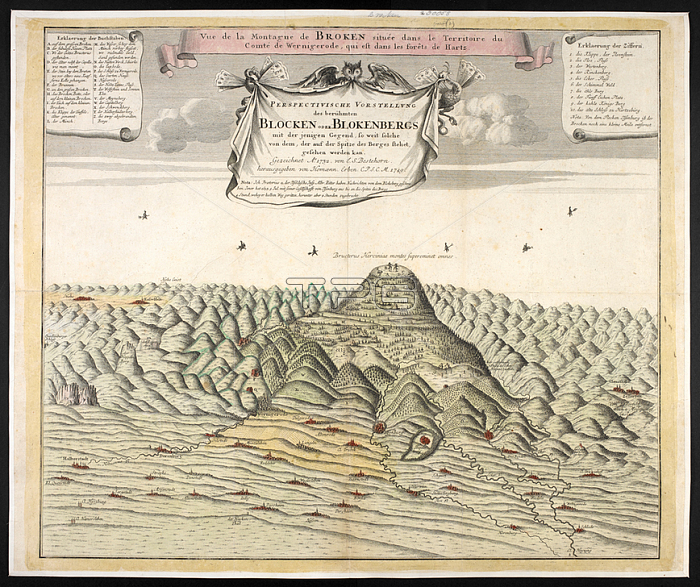
A pictorial map of the Brocken; also sometimes referred to as the Blocksberg; the highest peak of the Harz mountain range and also the highest peak of Northern Germany.Nuremberg; 1749.From: Perspectivische Vorstellung des beru╤mten Blocken oder Blokenbergs mit der jenigen Gegend. Gezeichnet A?1732 von L.S. Bestehorn; herausgegeben von Homaennischen Erben.Maps*30058. (1)London; British Library.
| px | px | dpi | = | cm | x | cm | = | MB |
Details
Creative#:
TOP20997054
Source:
達志影像
Authorization Type:
RM
Release Information:
須由TPG 完整授權
Model Release:
No
Property Release:
No
Right to Privacy:
No
Same folder images:
Restriction:
Additional permissions needed for non-editorial use.

 Loading