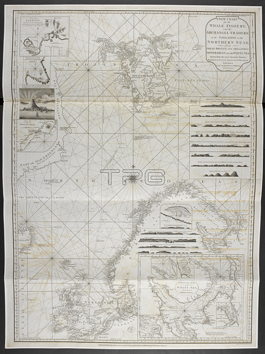
A new chart for the whale fishery and archangel-traders or the navigation in the Northern Seas; from Great Britain and Ireland to Spitsbergen and the White Sea.London: R. Laurie and J. Whittle; 1802.From: A Pilot for the Greenland Whale Fishery. Containing the North Sea; Shetland; Orkney; and Faro Isles; Coast of Jutland; Coast of Norway; the White Sea; Hudson's Bay; Baffin's Bay.Maps 149. e. 34; plate 5London; British Library.
| px | px | dpi | = | cm | x | cm | = | MB |
Details
Creative#:
TOP20980988
Source:
達志影像
Authorization Type:
RM
Release Information:
須由TPG 完整授權
Model Release:
No
Property Release:
No
Right to Privacy:
No
Same folder images:
Restriction:
Additional permissions needed for non-editorial use.

 Loading