
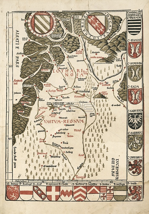
Waldseemuller map of Lorraine, 16th century
| px | px | dpi | = | cm | x | cm | = | MB |
Details
Creative#:
TOP20542169
Source:
達志影像
Authorization Type:
RM
Release Information:
須由TPG 完整授權
Model Release:
N/A
Property Release:
N/A
Right to Privacy:
No
Same folder images:
ALSACECOATOFARMSCOATSOFARMSDOMAINOFWESTRICHDUKEOFLORRAINEEUROPEANFRENCHGEOGRAPHICALHISTORICALLORRAINELOTHARINGIALUXEMBOURGMARTINWALDSEEMUELLERMARTINWALDSEEMULLERMOSELLENANCYNO-ONENOBODYRENEIIRIVERRIVERSS.DEODATUSSAARSAINTDIESAINT-DIE-DES-VOSGESVASTUMREGNUMVOSGESMOUNTAINSWESTRICHPLATEAU1500SMAPEUROPEFRANCEGERMANYHISTORYGEOGRAPHYCARTOGRAPHYILLUSTRATIONARTWORKDIAGRAM16THCENTURY1513
1500S151316THALSACEARMSARMSARTWORKCARTOGRAPHYCENTURYCOATCOATSDEODATUSDIAGRAMDIEDOMAINDUKEEUROPEANFRANCEFRENCHGEOGRAPHICALGEOGRAPHYGERMANYHISTORICALHISTORYIIILLUSTRATIONLORRAINELORRAINELOTHARINGIALUXEMBOURGMAPEUROPEMARTINMARTINMOSELLEMOUNTAINSNANCYNO-ONENOBODYOFOFOFOFPLATEAUREGNUMRENERIVERRIVERSS.SAARSAINTSAINT-DIE-DES-VOSGESVASTUMVOSGESWALDSEEMUELLERWALDSEEMULLERWESTRICHWESTRICH
 Loading