
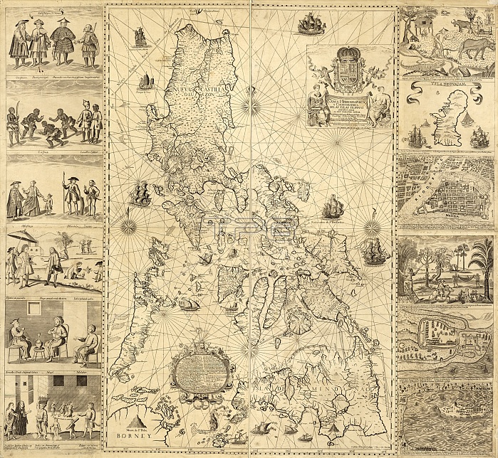
Map of the Philippines, 18th century
| px | px | dpi | = | cm | x | cm | = | MB |
Details
Creative#:
TOP20542167
Source:
達志影像
Authorization Type:
RM
Release Information:
須由TPG 完整授權
Model Release:
N/A
Property Release:
N/A
Right to Privacy:
No
Same folder images:
1700SARMENIANASIANCAMARINCAVITECOASTCOASTALCOASTLINESETHNOGRAPHICFILIPINOGEOGRAPHICALGUAMHISTORICALINDIGENOUSPEOPLEJAPANESEKAFFIRSLASCARMALABARMANILAMAPSMARDICAMESTIZOSMUGHALNICOLASDELACRUZBAGAYNO-ONENOBODYPEDROMURILLOVELARDEPEOPLEPEOPLESPERSONPHILIPPINESANGLEYESSHIPSSOUTHEASTASIASPANISHSPANISHEMPIRETOWNSZAMBOANGAMAPISLANDSCENEASIAPHILIPPINESSOUTH-EASTASIAHISTORYGEOGRAPHYCARTOGRAPHYETHNOGRAPHYILLUSTRATIONARTWORKDIAGRAMMONOCHROME18THCENTURY1734
1700S173418THARMENIANARTWORKASIAASIAASIANBAGAYCAMARINCARTOGRAPHYCAVITECENTURYCOASTCOASTALCOASTLINESCRUZDEDIAGRAMEMPIREETHNOGRAPHICETHNOGRAPHYFILIPINOGEOGRAPHICALGEOGRAPHYGUAMHISTORICALHISTORYILLUSTRATIONINDIGENOUSISLANDJAPANESEKAFFIRSLALASCARMALABARMANILAMAPMAPSMARDICAMESTIZOSMONOCHROMEMUGHALMURILLONICOLASNO-ONENOBODYPEDROPEOPLEPEOPLEPEOPLESPERSONPHILIPPINEPHILIPPINESSANGLEYESSCENEASIASHIPSSOUTH-EASTSOUTHEASTSPANISHSPANISHTOWNSVELARDEZAMBOANGA
 Loading