
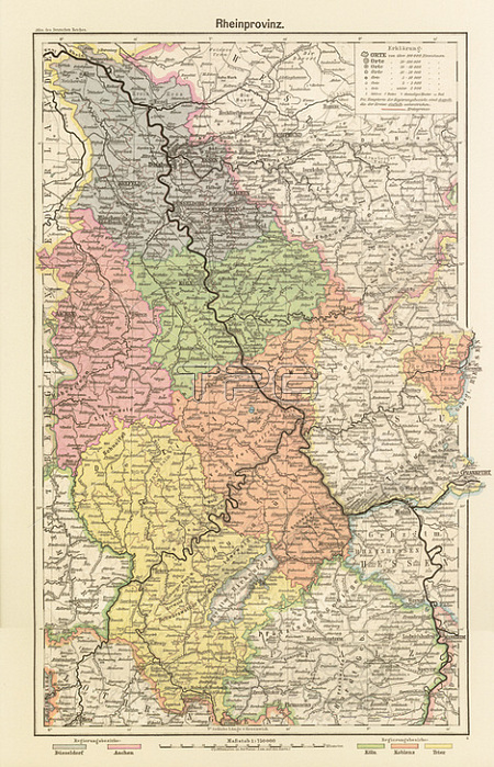
Rhineland / Maps."Rheinprovinz".(Map of the Rhineland provinces.)Colour lithograph. Cartographer: Henry Lange; edited by Carl Diecke.From: H.Lange; Atlas des Deutschen Reiches; Neueste Bearbeitung in drei遡g Karten; Braunschweig (George Westermann)1902; map 13.
| px | px | dpi | = | cm | x | cm | = | MB |
Details
Creative#:
TOP20506299
Source:
達志影像
Authorization Type:
RM
Release Information:
須由TPG 完整授權
Model Release:
No
Property Release:
No
Right to Privacy:
No
Same folder images:
20THCENTURY2NDMILLENNIUMA.D.ALTASOFTHEGERMANEMPIRECARLDIERCKECARTOGRAPHYCDCHROMOLITHOGRAPHYCHROMOLITHOGRAPHGEOGRAPHYGERMANEMPIRE(1871-1918)GERMANYGRAPHICARTGRAPHICARTSHENRYLANGEHISTORYHistoryandPoliticsLITHOGRAPHMAPMAPMAKINGNORTHRHINE-WESTPHALIAPlacesandTravelPORTRAITFORMATPRINTEDGRAPHICSRHINERHINELAND-PALATINATETOPOGRAPHY
(1871-1918)20TH2NDA.D.ALTASARTARTSCARLCARTOGRAPHYCDCENTURYCHROMOLITHOGRAPHCHROMOLITHOGRAPHYDIERCKEEMPIREEMPIREFORMATGEOGRAPHYGERMANGERMANGERMANYGRAPHICGRAPHICGRAPHICSHENRYHISTORYHistoryLANGELITHOGRAPHMAKINGMAPMAPMILLENNIUMNORTHOFPORTRAITPRINTEDPlacesPoliticsRHINERHINE-WESTPHALIARHINELAND-PALATINATETHETOPOGRAPHYTravelandand
 Loading