
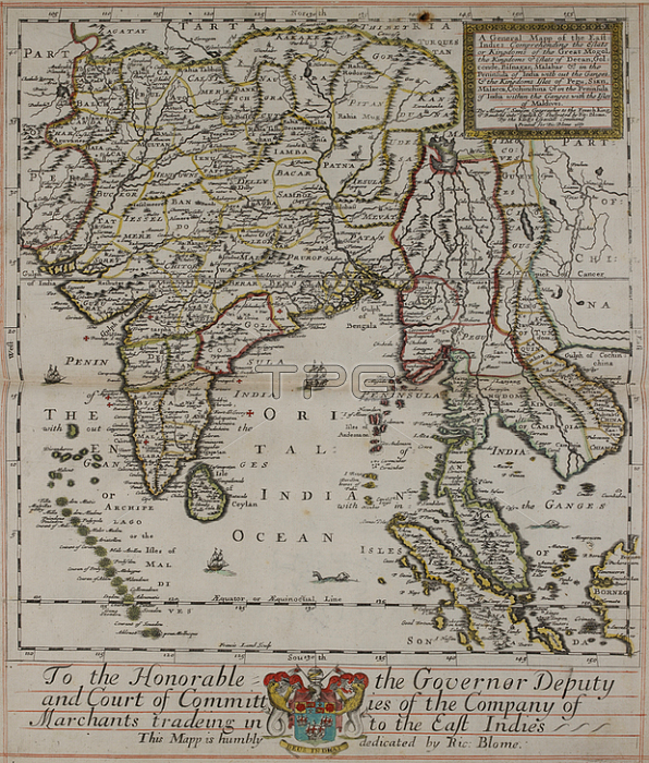
Map of the east indies; 17th century.London: R. Blome; 1670.From: Richard Blome; A general mapp of the East-Indies comprehending the Estats [!]. of the Great Mogol. etc in the Peninsula of India within the Ganges; with the Isles of Maldives / By Monsr [!] Sanson. ; Rendred [!] into English; & ilustrated [!] by Ric: Blome. 1667 ; Francis Lamb Sculp.C. 39. d. 2 page 48-49London; British Library.
| px | px | dpi | = | cm | x | cm | = | MB |
Details
Creative#:
TOP20504225
Source:
達志影像
Authorization Type:
RM
Release Information:
須由TPG 完整授權
Model Release:
No
Property Release:
No
Right to Privacy:
No
Same folder images:
Restriction:
Additional permissions needed for non-editorial use.
 Loading