
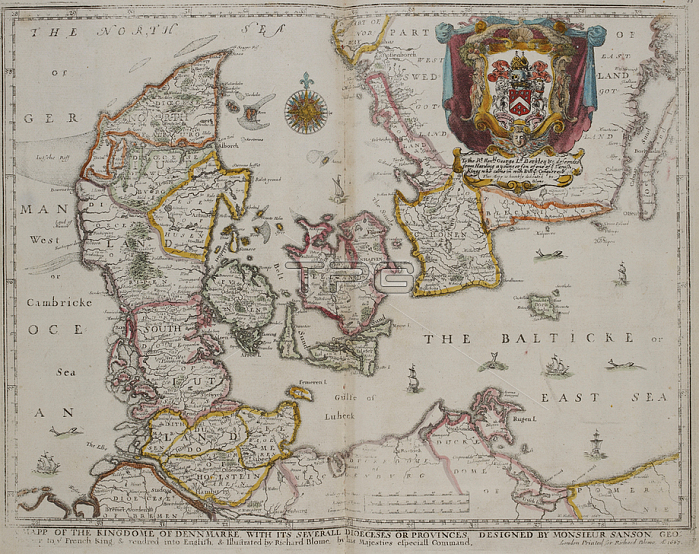
Wenceslaus Hollar.Map of Denmark; 17th century.London: R. Blome; 1670.From: Wenceslaus Hollar; A mapp of the Kingdome of Dennmarke; with its severall dioeceses or provinces / Designed by Monsieur Sanson. ; rendred [!] into English; & illustrated by Richard Blome. 1667 ; W: Hollar fecit 1667.C. 39. d. 2 page 80-81London; British Library.
| px | px | dpi | = | cm | x | cm | = | MB |
Details
Creative#:
TOP20504211
Source:
達志影像
Authorization Type:
RM
Release Information:
須由TPG 完整授權
Model Release:
No
Property Release:
No
Right to Privacy:
No
Same folder images:
Restriction:
Additional permissions needed for non-editorial use.
 Loading