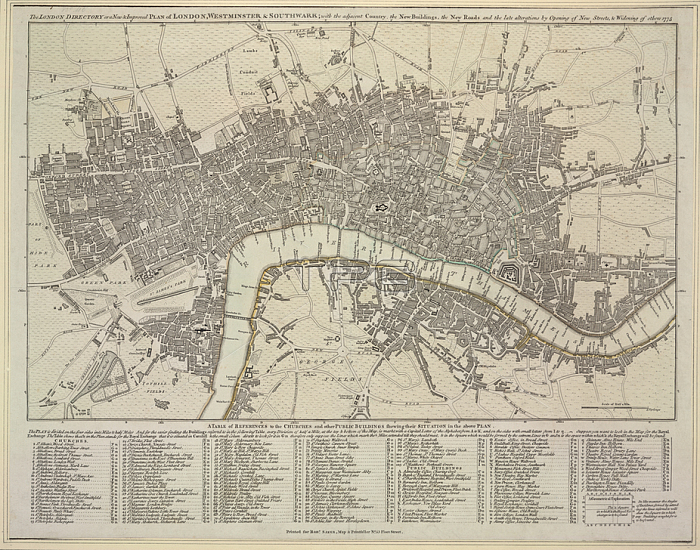
R Sayer.A plan of London; Westminster and Southwark.[London]: printed for Robt. Sayer; map and printseller; No. 53 Fleet Street; 1775.From: R Sayer; The London directory; or a new & improved plan of London; Westminster & Southwark: with the adjacent country; the new buildings; the new roads and the late alterations by opening of new streets; & widening of others; 1775.Maps Crace Port. 4 145London; British Library.
| px | px | dpi | = | cm | x | cm | = | MB |
Details
Creative#:
TOP20503200
Source:
達志影像
Authorization Type:
RM
Release Information:
須由TPG 完整授權
Model Release:
No
Property Release:
No
Right to Privacy:
No
Same folder images:
Restriction:
Additional permissions needed for non-editorial use.

 Loading