
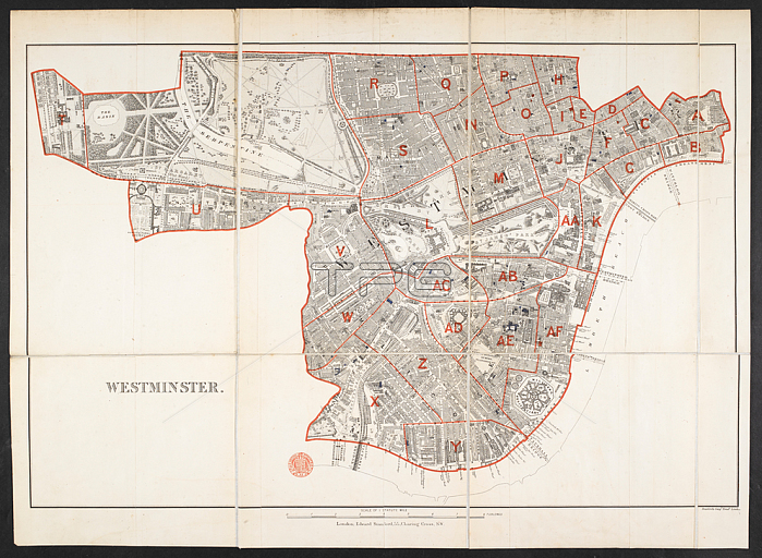
A map of the School Board District of Westminster.London: Stanford; 1879.From: [Map of the School Board District of] Westminster. [Scale; 1: 10; 560 or 6 inches to 1 statute mile].Maps 29. b. 58. (9.) London; British Library.
| px | px | dpi | = | cm | x | cm | = | MB |
Details
Creative#:
TOP20502864
Source:
達志影像
Authorization Type:
RM
Release Information:
須由TPG 完整授權
Model Release:
No
Property Release:
No
Right to Privacy:
No
Same folder images:
Restriction:
Additional permissions needed for non-editorial use.
 Loading