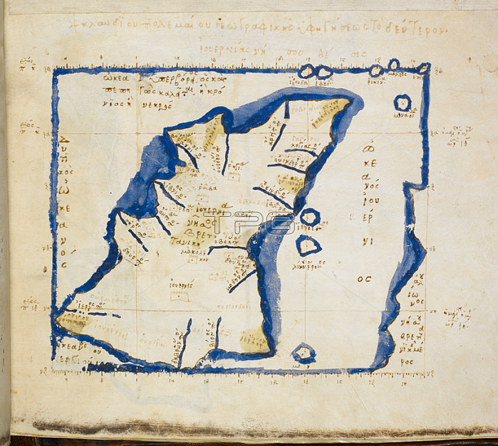
(Whole folio) Map of the British Isles; or 鈥業vernia insula Britannica'; a 15th century map based on one by Ptolemy; in brown ink; tinted with blue and yellow. The map is an insertion in a volume of slightly earlier date.E. Mediterranean [Greece?]; late 14th-15th century.From: Claudius Ptolemy; Geographia.Burney 111; f. 15London; British Library.
| px | px | dpi | = | cm | x | cm | = | MB |
Details
Creative#:
TOP20502554
Source:
達志影像
Authorization Type:
RM
Release Information:
須由TPG 完整授權
Model Release:
No
Property Release:
No
Right to Privacy:
No
Same folder images:
Restriction:
Additional permissions needed for non-editorial use.

 Loading