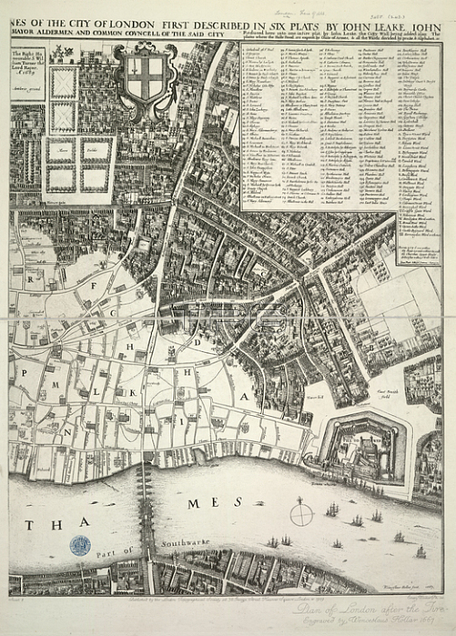
London; Map showing part of the City of London.Image taken from An exact Surveigh of the Streets; Lanes; and Churches contained within the ruines of the City of London; first described in six plats Reduced here into one entire plat by John Leake Jonas Moore & Ralph Graterix; Surveyors. Wenceslaus Hollar fecit; 1667. A scale of feet; 500[ = 42 mm].Originally published / produced in London: N. Brooke; 1669.London: N. Brooke; 1669.From: An exact Surveigh of the Streets; Lanes; and Churc.Maps.*3485. (243); sheet 2London; British Library.
| px | px | dpi | = | cm | x | cm | = | MB |
Details
Creative#:
TOP20499715
Source:
達志影像
Authorization Type:
RM
Release Information:
須由TPG 完整授權
Model Release:
No
Property Release:
No
Right to Privacy:
No
Same folder images:
Restriction:
Additional permissions needed for non-editorial use.

 Loading