
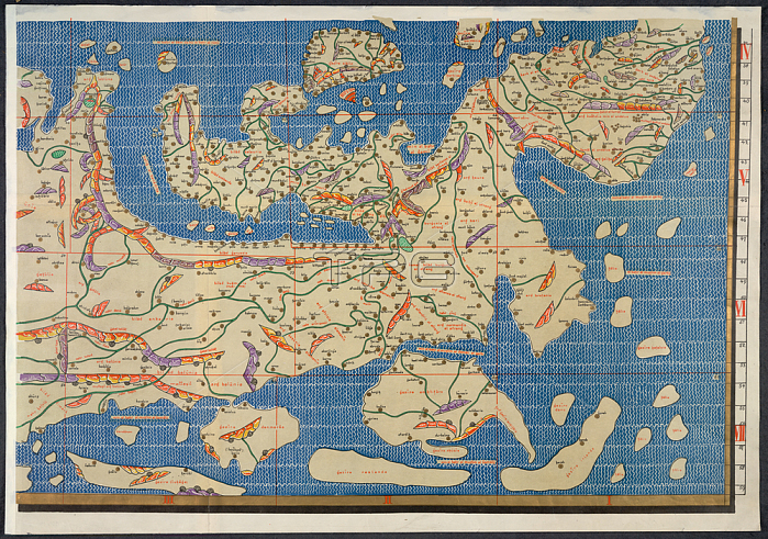
World map; Section of Idrisi world map.Image taken from Charta Rogeriana--Weltkarte des Idrisi--vom Jahr 1154 n. Ch. Wiederhergestellt und herausgegeben von Konrad Miller. (Explanations. pp. 38). 6 Sh. 670 x 450 mm.Originally published / produced in Stuttgart; 1928.Stuttgart; 1928.From: Charta Rogeriana--Weltkarte des Idrisi--vom Jahr 1.Maps. 856. (6); lower rightLondon; British Library.
| px | px | dpi | = | cm | x | cm | = | MB |
Details
Creative#:
TOP20499554
Source:
達志影像
Authorization Type:
RM
Release Information:
須由TPG 完整授權
Model Release:
No
Property Release:
No
Right to Privacy:
No
Same folder images:
Restriction:
Additional permissions needed for non-editorial use.
 Loading