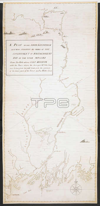
鈥楢 plan of the River Kennebeck as it was surveyed by order of the Government of Massachusets Bay in the year MDCCLXI from the falls above Halifax unto the place where the surveyor John Small was killed; from his field book; with the addition of lower part of river by Fra. Miller; Lieut.'. No scale given.850 x 395mm.18th century.From: R.U.S.I. MAPS. Vol. LXXVI (1-13). 57711 (1-4). Places in states North-East of New York.Add. 57711.2 Amherst no. A 17. R.U.S.I. no. A 30.85. London; British Library.
| px | px | dpi | = | cm | x | cm | = | MB |
Details
Creative#:
TOP20498578
Source:
達志影像
Authorization Type:
RM
Release Information:
須由TPG 完整授權
Model Release:
No
Property Release:
No
Right to Privacy:
No
Same folder images:
Restriction:
Additional permissions needed for non-editorial use.

 Loading