
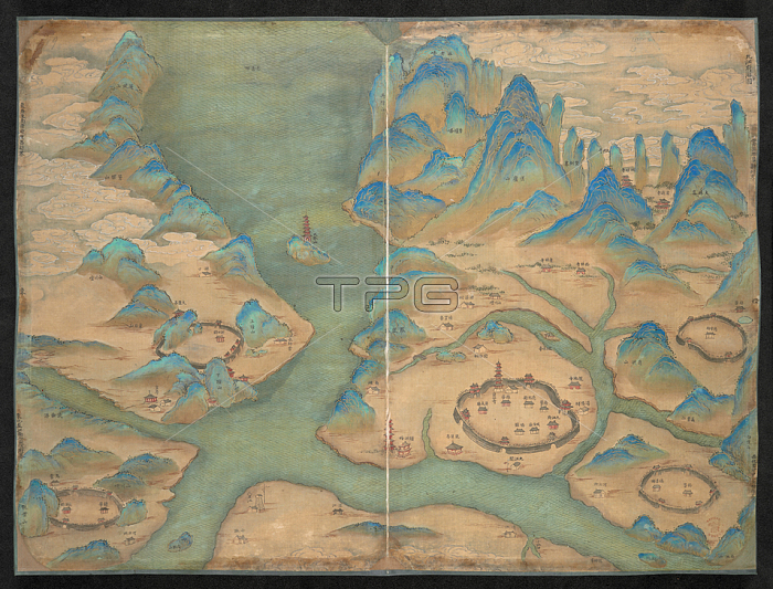
Map of the walled city of Jiujiang and environs. Topographical map of Jiangxi province; China.China; 19th century.From: A complete atlas of the Province of Kiangsi [Jiangxi].Add. 16356London; British Library.
| px | px | dpi | = | cm | x | cm | = | MB |
Details
Creative#:
TOP20495951
Source:
達志影像
Authorization Type:
RM
Release Information:
須由TPG 完整授權
Model Release:
No
Property Release:
No
Right to Privacy:
No
Same folder images:
Restriction:
Additional permissions needed for non-editorial use.
 Loading